
TORCH DRONE SOLUTIONS
24/7 Commercial Drone Services in Bacchus Marsh
Welcome to:
Torch Drone Solutions
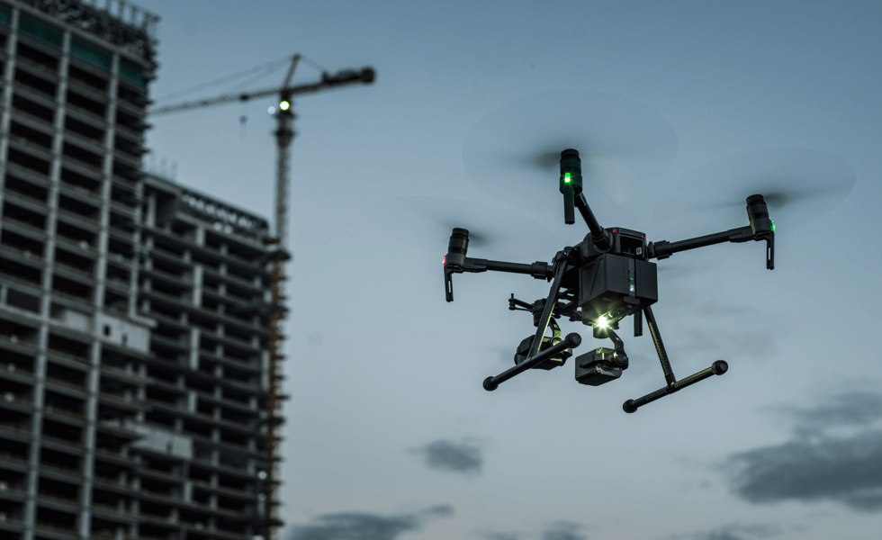
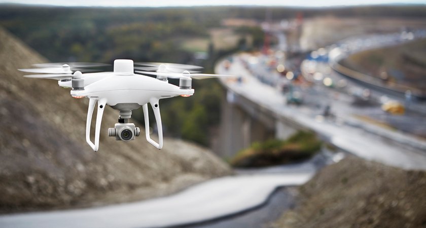
Operating out of Bacchus Marsh, Victoria. Torch Drone Solutions delivers advanced commercial drone services for the construction, infrastructure, and asset management sectors. We specialise in remote sensor data acquisition, thermal imaging, and geospatial mapping - providing complete end-to-end UAV solutions from capture to processing, analysis, and reporting.
Equipped with the latest UAV technology and industry expertise, enabling operations in controlled aerodromes, night-time conditions, and high-risk environments. This capability ensures precise, reliable data collection that empowers clients to make informed decisions, reduce operational risk, and streamline workflows.
Torch Drone Solutions is licensed to perform drone operations in Australia (CASA.ReOC. 7728) with Public Liability of $20 Million and Level 1 Thermographer trained.


Our Drone Services & Consulting:
Save Time
Reduce Costs
Improve Safety
Drone technology is the future and its changing how we do things in the workplace. From reducing work related risks to improve the quality of work in an effective & efficient manner. Resulting in better business operations, satisfied clients and safe workers.
Servicing industries in:
Construction | Agriculture | Forestry | Aviation | Marine | Energy | Oil & Gas | Telecommunications | Insurance | Media | Mining | Real Estate

24/7 - Drone Services
-
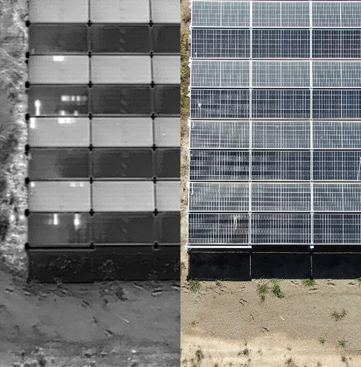
![Drone Solar Farm Inspection in Northern Victoria.]()
Drone Solar Farm Inspection in Northern Victoria.
Full comprehensive & root cause analysis.
-
![Drone Aerial Survey in Truganina of Morris Road Bridge Construction]()
Drone Survey in Truganina.
High accuracy & user friendly software measurement tools.
-
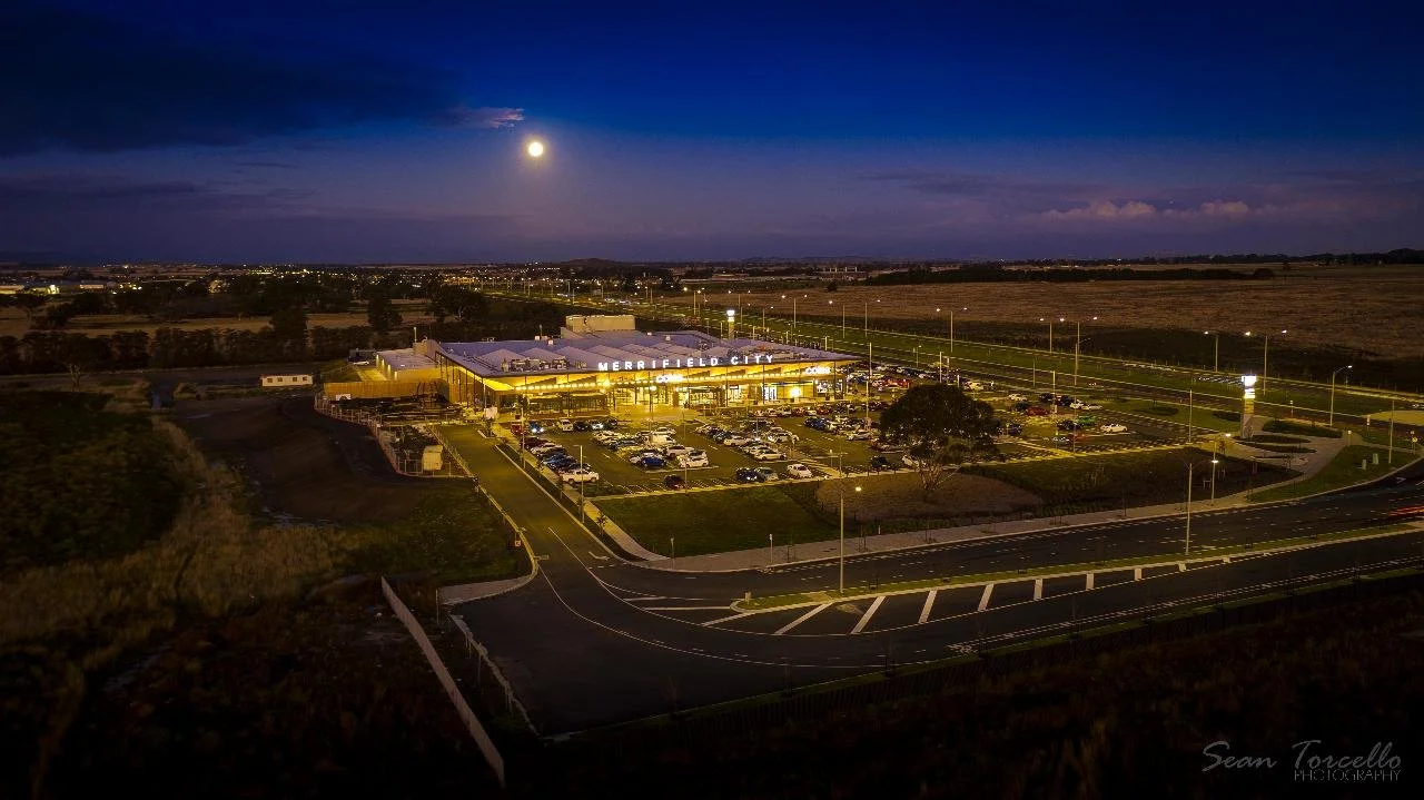
![Twilight Drone Photography of Merrifield City Shopping Center]()
Twilight Drone Photography in Merrifield.
Captured photo & exclusive post editing.
-
![Drone LiDAR Surveying]()
Drone LiDAR Surveying
Laser Scanning for architectural development software.
-
![constructiondronesurvey]()
3D Modeling
Workcover compensation survey & detailed evidence supporting court case.


Who we’ve worked with.


Drone Services by Industry
-
GIS Services
Stockpile Surveys
Site/Asset Inspects
Safety Accident Surveys
Earthworks Progress
Thermography
Building & Roof Inspection
2D/3D Models
BIM/CAD Overlays
-
Multispectral Mapping
Crop Health & Analytics
Damage Assessments
Irrigation & Erosion Mapping
Tree & Crop Count
Forest Fire Management
Locating Lost Livestock
-
Aerial Drone Inspections
Asset Condition Monitoring
Thermography
Corridor Mapping
Solar Panel Inspections
Wind Turbine Inspections
Digital Twins (3D Models)
Digitial Asset Library
-
GIS Services
Stockpile Surveys
Site/Asset Inspects
Safety Accident Surveys
Earthworks Progress
-
Runways Inspections & Surveys
Plane/Aircraft Inspections
-
GIS Services
Tree Count Software
Irrigation & Erosion Mapping
Forest Fire Management
Search & Recuse
-
Ship Hull Inspections
Dock Inspections & Surveys
-
House Surveys
Damage Assessments
Digital Twins (3D Models)
Digitial Asset Library
-
Drone Photography
Drone Filming
Photo Editing
Video Editing
-
Dam Inspections
Storage Tank Inspections
Digital Twins (3D Models)
Digitial Asset Library
-
Refinery Plant Inspections & Surveys
Storage Tanks Inspections
Site/Asset Inspections
Safety Incident Surveys
Digital Twins (3D Models)
Digitial Asset Library
