Drone Survey & Mapping
HIGH ACCURACY | DATA ANALYSIS
Why use drones for aerial surveying?
-

REDUCE.
Survey Costs
Estimation/Bidding Errors
Stakeholder Disputes
Risks & Liability
-

IMPROVE.
Project Financials
Pre-construction Estimations
Communication & Documentation
Safety & Production
-

FLEXIBLE.
Works with in-house and/or out sourcing surveying programs.
Accurate surveys or general mapping.
High Res. cameras & precise GPS equipment.
Data acquisition, processing and analytics.
Aerial Drone Surveying
Torch Drone Solutions provides drone surveying services in Victoria, for a variety of applications. With extensive experience we will provide you with great value surveys and mapping.
UAV Survey and Mapping Applications
Construction Site Surveys
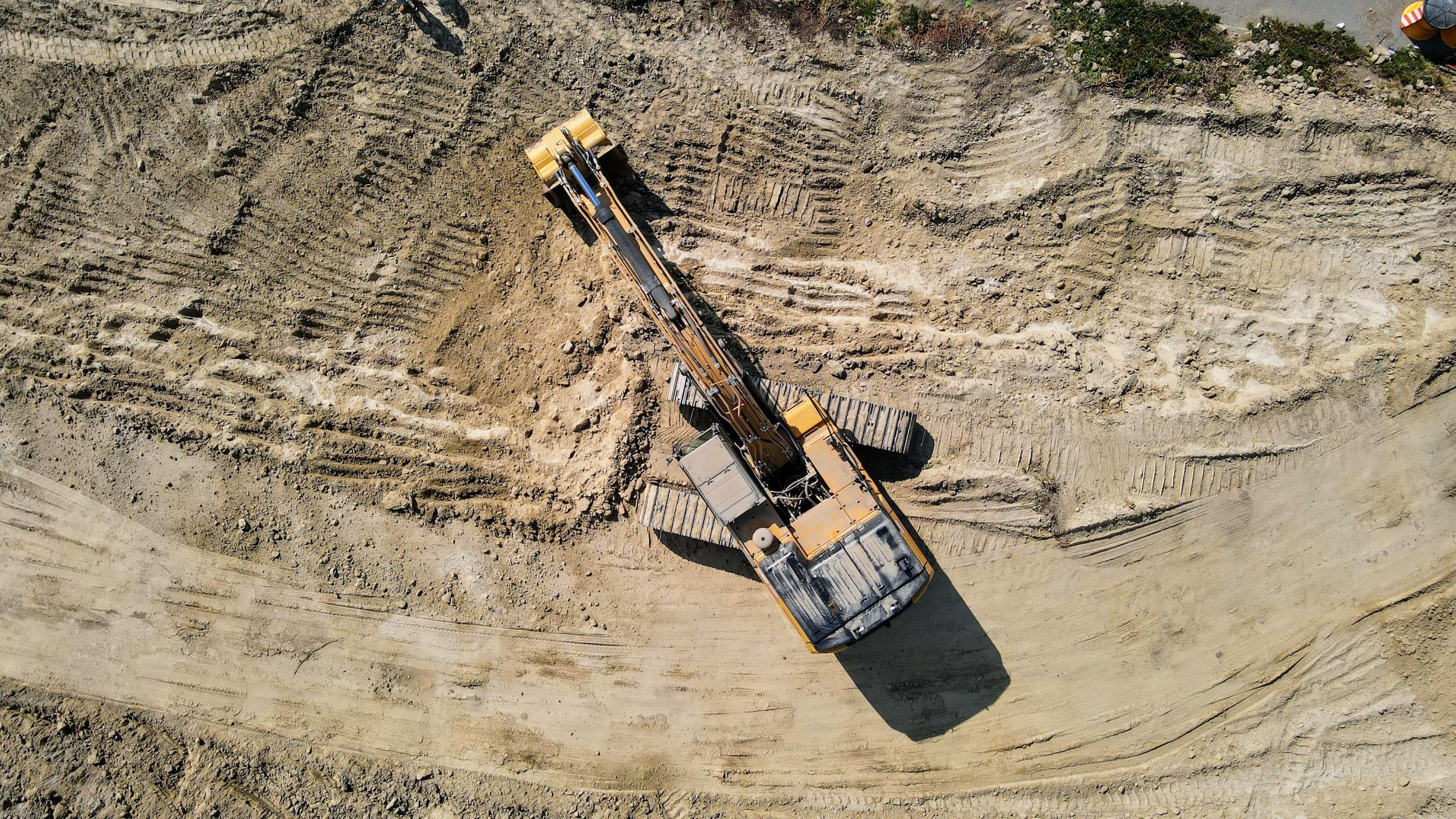
Earthwork Progress
Photogrammetry Surveys
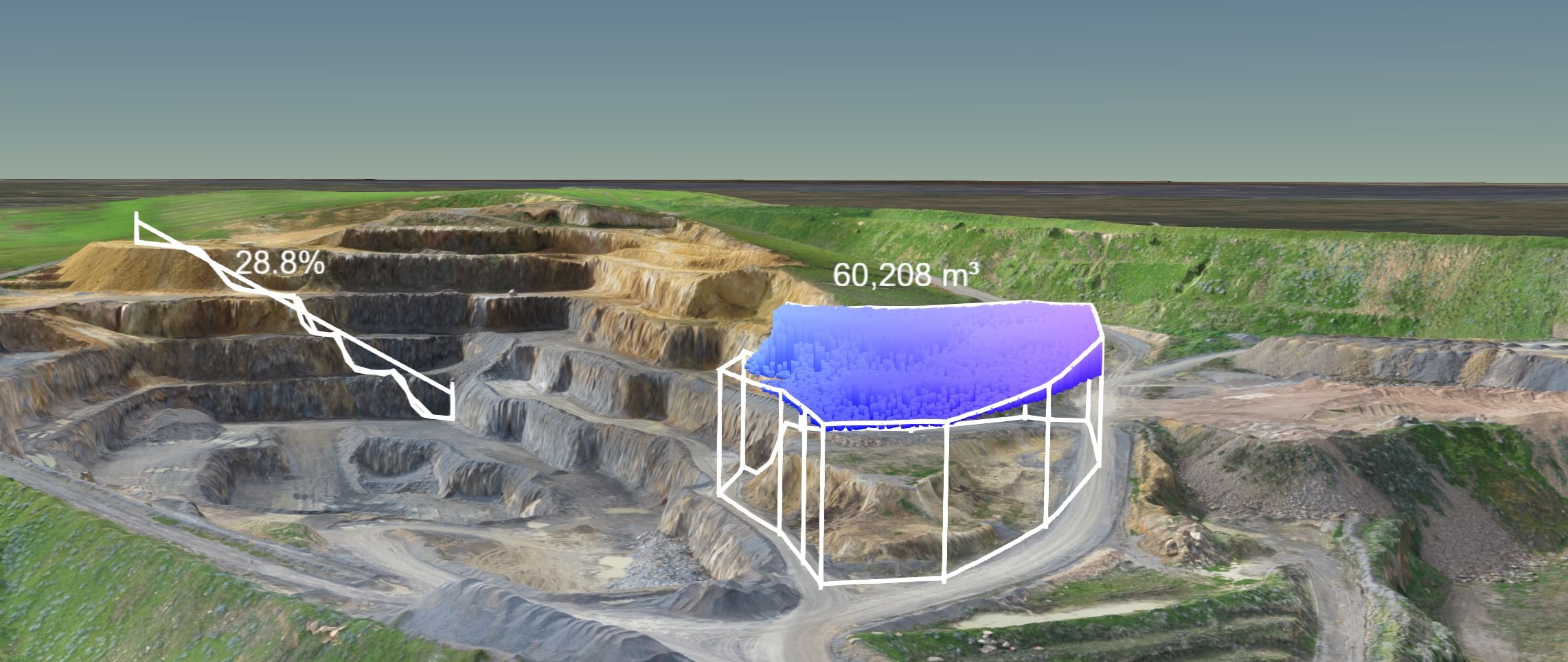
Stockpile Measurements
Irrigation Survey
LiDAR Surveys
Orthographic Mapping
Multispectral Mapping
Topographical Mapping
Orthographic Mapping
Multispectral Mapping
Contour Surveys
Smarter Surveys
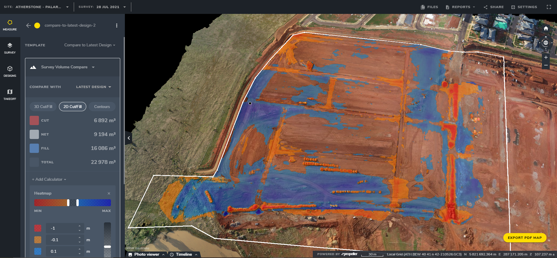
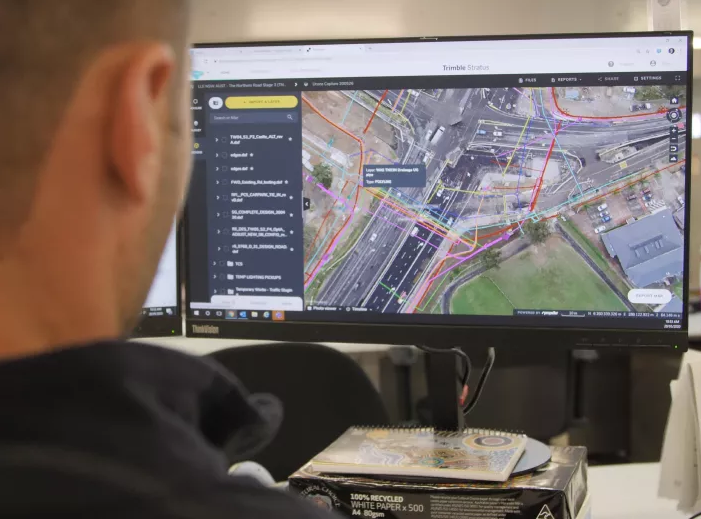
Regular drone survey programs will make your earthwork projects easy to manage from start to finish. Such as estimations, finances, disputes, damages, liability, production and final handover. Aided with software helps with communication, accessibly and documentation.
“Saving 22 hours of labor a week—and $100k in a single day.”
— Propeller Aero
Drone Surveying Methods
-

Photogrammetry
Is the science and technology of obtaining reliable information about physical objects and the environment through the process of recording, measuring and interpreting photographic images. Suited for building & infrastructure surveying.
-

Light Detection & Ranging (LiDAR)
Is a remote sensing method used to examine the surface of the Earth and structures using laser scanning. Effective in penetrating dense and vegetated terrain. Suited for land & power line surveying.
Faster. Surveys.
Minimum time onsite is required for a drone to survey an area. Processing can be just as quick however all of this varies depending deliverable and area size.
Software are capable to export many different file formats for use of machine control, PDF reports, images etc. Also can upload CAD files to work out cut/fill levels in no time!


