Commercial Drone Services For:
Construction Industry
Why use drones in construction?
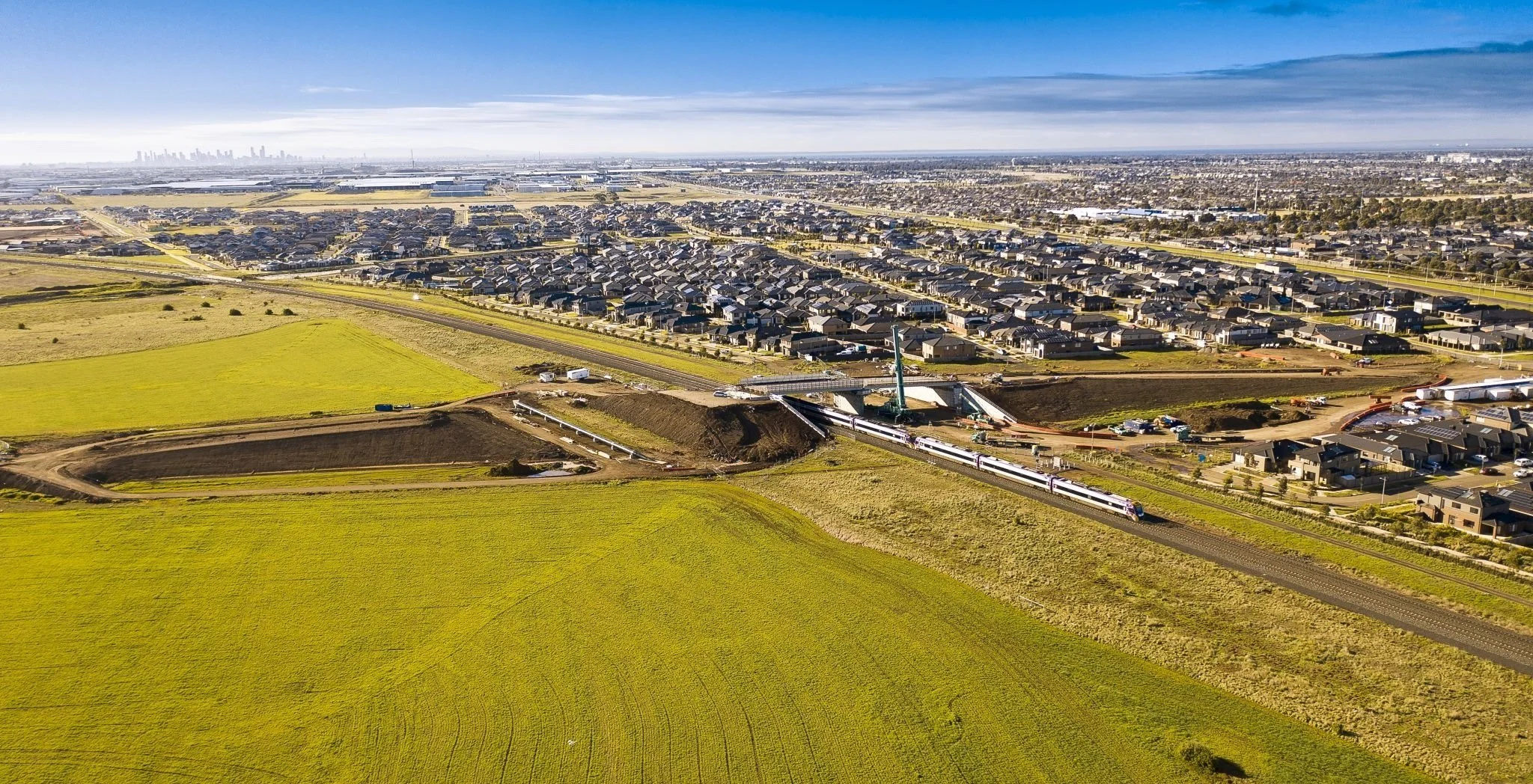
Construction is a challenging and dynamic environment, requiring constant innovation to stay ahead of the curve. In addition to being one of the largest sectors in the Australian economy, construction also is an industry that continues to grow and evolve rapidly. New technologies and innovations continue to reshape how projects are planned, constructed, and completed more efficiently than ever before. Anyone who works in construction knows it's a very fast-paced environment with constant change and demanding deadlines. The construction industry sees new challenges every day, which means updated solutions are required on a regular basis. We will be discussing different ways you can use commercial drone services for your business if you’re in the Construction Industry.
What We Do
-
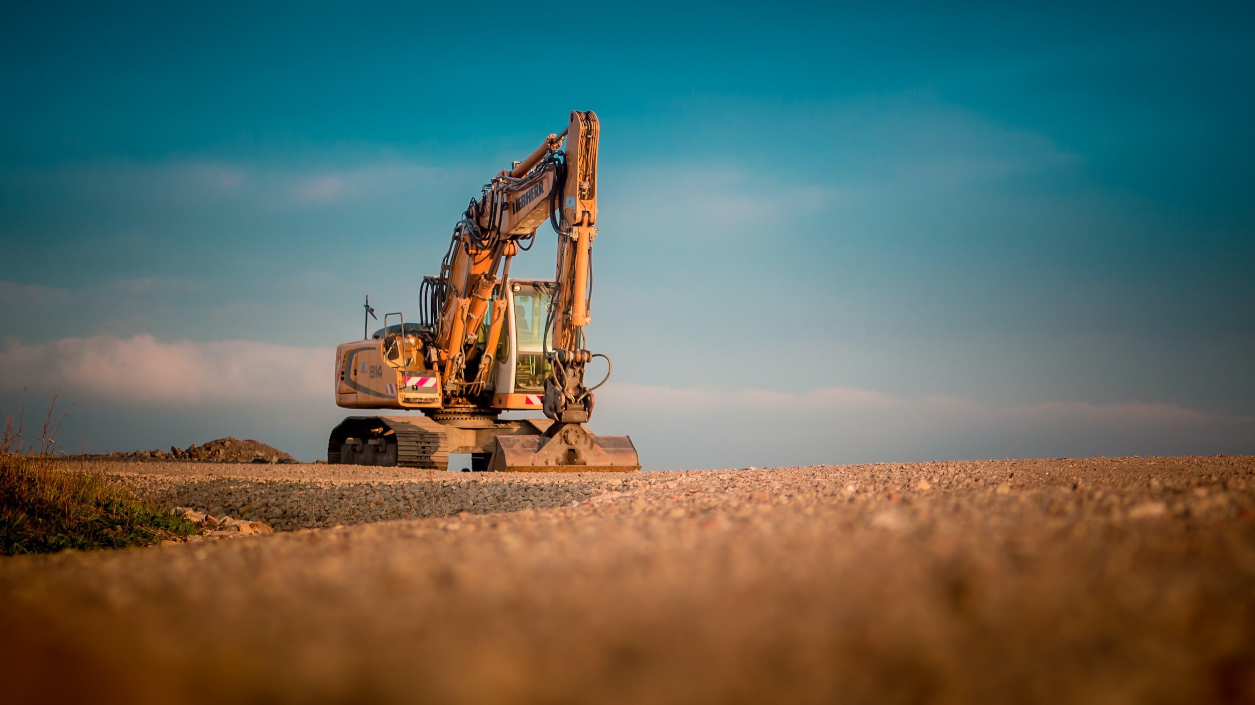
Site Inspections
Building & Roofs
Bridges & Structures
Pavement, Road & Highway
Pipeline, Dams & Wetlands
-
Photogrammetry Surveys
LiDAR Surveys
2D/3D Models & Rendering
Geo-referenced Orthmosaics
Digital Terrian Models (DTM)
-
4k Video & 20-40MP Photos
Flythroughs
Time Lapses
Progress/Milestones Tracking
Live Streaming
Virtual Reality
Panorama & 360 Photos
Photo & Video Editing
-
Qualitative Thermal Inspections
Building & Roofs Inspections
Documentation & Reports
Leaking Water & Gas Pipe Detection
Security & Surveillance
Large Scale Equipment Condition Monitoring
Non-Destructive Testing (NDT)
-
CAD/BIM - Plan Overlays
Cut/Fill Reports
Project Progression & Tracking
Asset Management & Monitoring
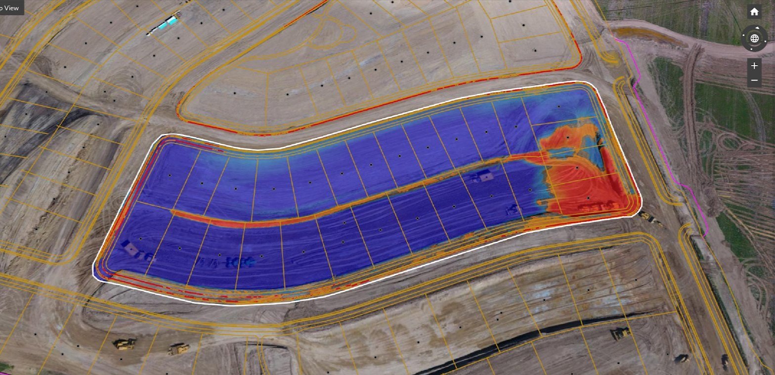
Volumetric Measurements
Measuring X,Y,Z Axis
Point Cloud Data
Textured Mesh
Estimate. Tender. Win More Jobs.
Get the competitive edge with a drone survey for your next earthworks project.

Inspect. Record. Visualize Your Assets
Capture hard to reach & dangerous places with drone inspections.
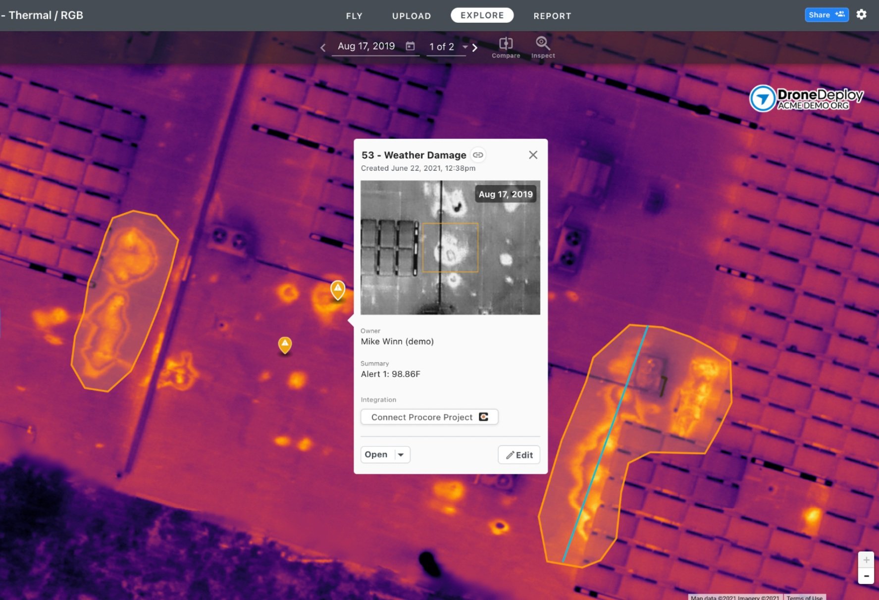
Detect. Diagnose. Thermal Anomalies.
Find underground pipe leaks & inspect building with drone thermal imaging.
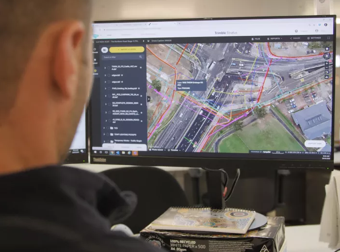
Forecast. Track Progress. Keep Within Budget.
Improve construction cost management remotely with user friendly software.

Quality. Litigation. Avoid Costly Disputes.
Reduce expensive contractor disputes with accurate quality assurance using drones.
Marketing. Advertising. Showcase Your Projects.
Promote your construction builds and projects with drone photography.