Portfolio
-

Drone Inspection of Telecommuncation Tower
Drone Inspection
-
Drone Roof Inspection of Commercial Property
Drone Inspection
-

Compare to Design in Diggers Rest
Drone Survey & Mapping
-

LiDAR Surveying in Ballarat
Drone Survey & Mapping
-

Drone Mapping in Corio Bay
Drone Survey & Mapping
-

Stockpile Survey of Subdivion Development
Drone Survey & Mapping
-

Comprehensive Inspection of Solar Farm
Drone Inspection | Thermal Imaging
-

Drone Photography in Melbourne
Content Creation
-

LiDAR Surveying of Leongatha Church
Drone Survey & Mapping
-

Stockpile Reporting in Truganina
Drone Survey & Mapping
-

Photogrammetry Survey of Atherstone
Drone Survey & Mapping
-

Photogrammetry Survey of Ferris Rd
Drone Survey & Mapping
-

Drone Photography of Merrifield City
Content Creation
-

Photogrammetry Survey of WorkSafe Accident
Drone Survey & Mapping
-

LiDAR Surveying of Residential Property
Drone Survey & Mapping
-

Drone Filming & Inspection of Hazelwood Power Station Demolition
Content Creation | Drone Inspection
-

Stockpile Survey in Diggers Rest
Drone Survey & Mapping
-

Earthworks Progress of Morris Rd
Drone Survey & Mapping
-

LiDAR Surveying of Residential Property
Drone Survey & Mapping
-

Drone Photography of Morris Rd
Content Creation
-

LiDAR Surveying of Residential Property
Drone Survey & Mapping
-

Drone Photography of Bacchus Marsh
Content Creation
-
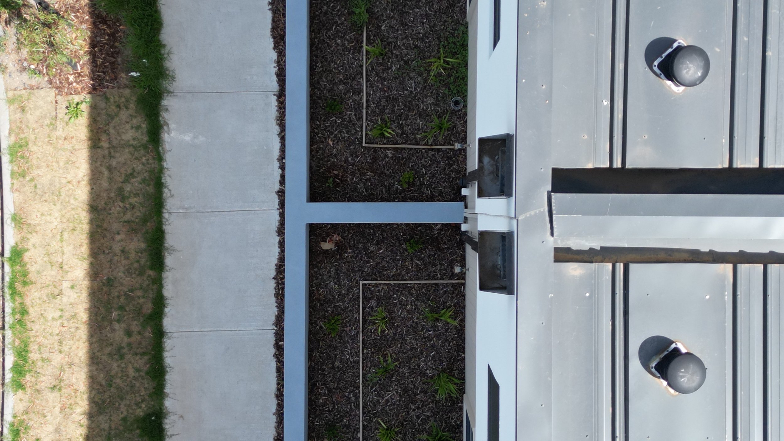
Drone Roof Inspection of Townhouses
Drone Inspection


